Tauranga experienced one of the warmest autumns on record since 1913.
The MetService says it was an extremely mild May across the country, due to the combination of frequent northwesterlies and warmer than usual seas around the country.
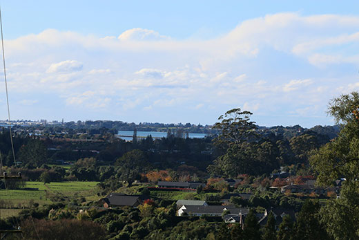
The country experienced an extremely mild May. Photo: Daniel Hines.
'The first half of the month was exceptionally warm, and even with the wintry end to the month, many new May temperature records were set.
'It was the warmest May on record for five of the six main centres (Auckland, Hamilton, Tauranga, Wellington and Christchurch), with Dunedin observing its third warmest May.”
The frequent northwesterly winds produced extreme rainfall for the West Coast South Island - it was the wettest May on record for Hokitika (579mm of rain observed) and Milford Sound (1338mm).
It was also wet for Nelson, parts of Southland, Otago and south Canterbury, and the southwest North Island.
Tauranga: Warmest May & warmest Autumn on record, data since 1913. @sunlive_nz Temps look more variable in June, https://t.co/vGgtMb4BMI ^GG
— MetService (@MetService) June 1, 2016
The Ocean:
The 2015/2016 El Nino has ended, and the tropical Pacific Ocean has returned to a neutral state.
'The Tasman Sea and Southern Ocean will rule our weather patterns through early winter, with the chance of La Nina development about 75 per cent by spring (double the normal odds),” says the MetService.
'Sea temperatures around New Zealand remain above average, with the exception of the far south of the country.”
The June Outlook:
June starts off unusually cold (and frosty), before well above average temperatures return next week.
Over the second half of June, temperatures look likely to continue to swing widely week-to-week.
'The monthly temperatures will likely end up on the warm side of the ledger, but overall, large temperature swings are expected in June.
'Similarly, rainfall is forecast to swing widely week-to-week. The month starts out abnormally dry under high pressure, while next week looks very wet for most areas (excluding eastern regions) due to prevailing northerly winds.”
The second half of the month also looks likely to flop-flop between dry and wet phases. The third week of the month is predicted to run on the drier side for most of the North Island and the north and east of the South Island under a westerly regime, while the end of June shows useful rainfall across many regions.
Bottom line: Large swings in temperature are expected in June for all regions. Above normal June rainfall totals are signalled for the West Coast South Island, Buller and Nelson, Northland, Auckland and Coromandel.
Below normal June rainfall is forecast for Gisborne, Hawkes Bay and Wairarapa. Elsewhere, near normal June rainfall is expected.
Good southerly flow today, pushing showers along east coast SI and through Cook. 4casts: https://t.co/hnwmGxU1gR ^CD pic.twitter.com/OBLqrmbEzT
— MetService (@MetService) June 1, 2016

0 comments
Leave a Comment
You must be logged in to make a comment.