A thunderstorm watch has been issued for the Bay of Plenty and Coromandel as an active front moves quickly across New Zealand today.
Other areas included in the MetService's watch are: Northland, Auckland, Great Barrier Island, Waikato, Waitomo, Taumarunui, Rotorua, Gisborne, Taranaki, Taihape, Wanganui, Manawatu, Kapiti-Horowhenua, Wellington, Marlborough, Nelson, Buller and Westland.
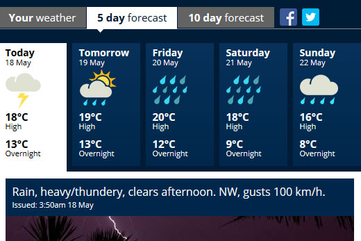
The MetService is expecting a front, similar to the one that brought thunderstorms on Monday, to his the region this afternoon. Image: MetService.
'A very active front should move quickly across New Zealand during Wednesday and is expected to bring a period of thunderstorms to many areas,” says MetService's Allister Gorman.
'There is a moderate risk that these thunderstorms could become severe with strong wind gusts of greater than 110km/h and may also be accompanied by damaging tornadoes.”
The severe thunderstorms are expected in the Bay of Plenty and Coromandel from midday until late afternoon.
'Wind gusts greater than 110km/h can cause some structural damage, including trees and power lines, and may make driving hazardous.
'If any tornados occur, they will only affect very localised areas,” warns Allister.
Severe Thunderstorm Watch today includes many main centres. Detail here: https://t.co/GZIq9Jlbrw ^CL pic.twitter.com/jtm1FOGvm2
— MetService (@MetService) May 17, 2016
A sequence of fronts crossing the country is set to bring cooler temperatures to New Zealand, with a dusting of early season snow to the ski fields.
Monday's front brought over 31,000 lightning strikes to the New Zealand area, with strikes from the Far South to Auckland.
Strong southerly gales rushed up the east coast of the South Island and lower North Island, reaching 130kph on Banks Peninsula, causing damage and power outages in Christchurch, and 113kph on the Rimutaka Hill Road.
Over 150mm of rain fell in parts of the West Coast, and higher in the mountains several ski fields got a coating of snow.
MetService meteorologist Tom Adams says today's front will bring a further blast of wind and rain, with high risks of lightning and squally wind gusts in the west, and a lesser risk spreading across into the east.
He says the weather improves for Thursday, but late on Friday a complex trough rolls over the country that looks poised to bring further chilly temperatures, widespread rain and gales, and a chance of some extra snow to the ski fields.
Persistent southerlies mean that temperatures in Queenstown will struggle to make the double figures from Saturday into at least the middle of next week, while Auckland, Wellington and Christchurch's highest temperatures only just make the mid-teens.
Although not unusual for the time of year, this comes after a long spell of warmer than average temperatures and will be a noticeable change.
'The current rapidly changing weather is characteristic of autumn, rather than winter – when southerly blasts can set in for a day or two in a row,” says Tom.
'Looking ahead into next week we begin to see these southerlies start to last a bit longer, further lowering temperatures and really bringing this extended summer to an end.”

4 comments
looks like
Posted on 18-05-2016 08:20 | By kurgan
some more geo-engineered weather on the way.
Boy Who Cried Wolf!
Posted on 18-05-2016 15:12 | By Mommatum
Talk about a literal flash in the pan. After all the scaremongering headlines complete with thunder and lightening graphics the sun's out in Tauranga. So where are the gale force winds, the driving rain and the lightening?? More like a case of the boy who cried wolf than a real weather event.
Wolf.
Posted on 18-05-2016 16:48 | By GreertonCynic
Working on a 40 metre high steel structure, I was thankful for the heads up. And it turned up when they said it would.
Did I miss something??
Posted on 18-05-2016 18:28 | By earlybird
.
Leave a Comment
You must be logged in to make a comment.